
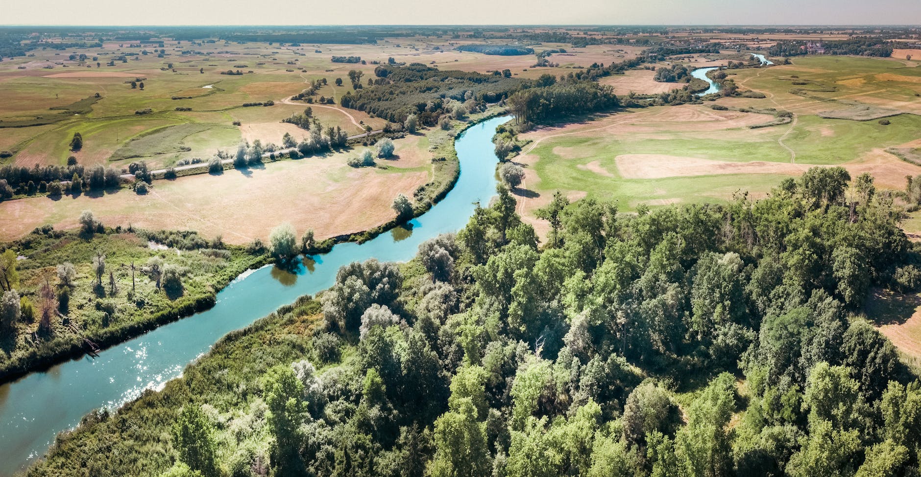
1) Nile River
The Nile flows primarily through northeastern Africa and is often cited as the world’s longest river. It has two major tributaries, the White Nile and the Blue Nile, which converge near Khartoum in Sudan. Ancient civilizations flourished along its banks due to predictable floods and fertile silt. Modern dams like the Aswan High Dam regulate water for irrigation and electricity. Seasonal variability still shapes agriculture and fisheries despite regulation. Urban growth along the river increases demand while straining water quality. Tourism focuses on temples, cruises, and archaeology. Wetlands support migratory birds and fisheries. Transboundary water politics require delicate negotiation among riparian nations. Climate change may alter flow patterns and evaporation rates. Longitudinal studies track sediment and nutrient transport over time. Cultural narratives tie the river to identity and resilience.
2) Amazon River
The Amazon carries more water than any other river on Earth, discharging into the Atlantic. Its basin spans multiple South American countries and vast rainforest. Seasonal floods inundate várzea forests, creating nutrient‑rich habitats. River dolphins, piranhas, and countless fish species populate its channels. Indigenous communities maintain knowledge of navigation, fishing, and medicinal plants. Deforestation and mining threaten water quality and biodiversity hot spots. Sediment transport shapes islands and river dynamics. Cloud formation is influenced by forest transpiration on a continental scale. Scientists monitor dissolved organic carbon and greenhouse gas fluxes. River commerce serves remote towns where roads are scarce. Conservation areas and enforcement aim to curb illegal extraction. The Amazon’s health links directly to climate stability.
3) Yangtze River
The Yangtze is Asia’s longest river, running entirely within China. It links glaciers on the Tibetan Plateau to the East China Sea. The Three Gorges Dam provides hydropower, flood control, and improved navigation. Ecological concerns include habitat fragmentation and endangered species like the finless porpoise. River shipping supports industry across inland provinces. Cities such as Chongqing, Wuhan, and Shanghai rely on it for commerce and water. Seasonal monsoons influence water levels and sediment loads. Wetlands and lake systems like Poyang Lake host migratory birds. Water quality regulation targets industrial discharges and agricultural runoff. River relocation and resettlement policies shaped communities along the valley. Cultural heritage sites line the banks from ancient towns to modern bridges. Climate adaptation plans integrate engineering with ecosystem restoration.
4) Mississippi–Missouri River System
This river system drains much of the central United States into the Gulf of Mexico. Levees and locks maintain navigation and protect floodplains. Agricultural runoff contributes to a seasonal hypoxic “dead zone” in the Gulf. Wetland restoration and cover crops help reduce nutrient flows. Barges move grain, fuel, and bulk goods with energy efficiency. Historic floods reshaped settlement patterns and engineering standards. Migratory birds follow flyways that depend on riparian habitats. Ports like New Orleans connect inland economies to global trade. Riverfront revitalization projects have turned industrial edges into public spaces. Sediment management influences delta stability and coastal resilience. Invasive species like Asian carp alter ecosystems and policy responses. Climate extremes test flood control and drought planning alike.
More about the Mississippi–Missouri
5) Yenisei–Angara–Selenga–Ider System
The Yenisei is among the great Siberian rivers flowing to the Arctic Ocean. Its headwaters include the Selenga and Ider rivers originating in Mongolia. Hydropower dams on the Angara chain shape flow regimes and navigation. Permafrost dynamics affect riverbanks and carbon release as temperatures rise. Sparse populations rely on fishing, hunting, and seasonal transport. Ice cover duration determines winter travel and ecological cycles. Taiga forests dominate the basin with rich fauna. Industrial facilities and mining require careful water monitoring. Arctic warming influences sea‑ice and estuary conditions. International research stations track hydrology and ecology across borders. Remote settlements depend on river barges for heavy goods. The river’s vastness underscores the scale of Siberia’s freshwater systems.
🧠 Summary
Earth’s longest rivers knit together climates, cultures, and economies across continents. The Nile and Yangtze demonstrate how dams bring benefits and tradeoffs. The Amazon shows the scale of biodiversity and climate connections. The Mississippi–Missouri illustrates agriculture, shipping, and restoration challenges. The Yenisei highlights Arctic linkages and permafrost concerns. All five face climate variability that complicates planning. Transboundary cooperation remains vital for equitable use. Long‑term monitoring helps adapt management to shifting baselines.
🎁 Extras
- On This Day: January 7, 1845 — The New York Herald announced plans to explore the Amazon, emblematic of global river curiosity.
- Fun Fact: Some Amazon fish migrate into flooded forests to feed on fruits.
- Book/Doc: The Control of Nature by John McPhee (on engineering rivers and landscapes).
- Reader Question: Which river would you most like to travel along, and why?
- Statistic: The Amazon discharges roughly 20% of the world’s river water into the ocean.
- Visual Tip: River length maps
🗣 Quote of the Day
“No man ever steps in the same river twice.”
— Heraclitus
Discover more from Magazine of AI
Subscribe to get the latest posts sent to your email.